
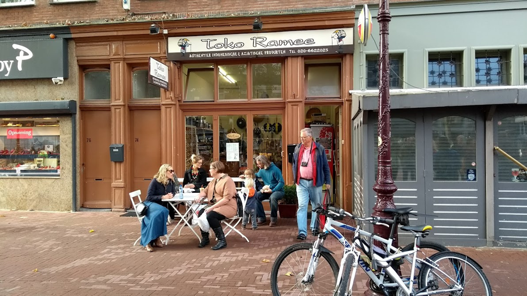
A street should be much more than just a corridor for cars. Amsterdam shows how to do it right. Photo credit: Maciej Zacher
From Corridors to Living Rooms
There is an adage in urbanism that says, “The best mobility plan is a good land use plan.” If we build cities where destinations are close, accessible, and attractive, the need for long, motorized commutes diminishes naturally. But on a more detailed scale, this philosophy challenges us to rethink the very nature of our streets.
Streets are the largest network of public open spaces under city management. Yet for decades, we treated them mainly as transportation corridors - pipes designed solely to move people and vehicles from Point A to Point B.
The challenge for modern cities is to transform these transit areas into high-quality, multifunctional public spaces. And it is not always about delivering massive new infrastructure projects. Often, the most profound changes come from using Lighter, Quicker, Cheaper (LQC) tactics to activate what already exists. We can turn a waiting area into a meeting place; a sterile corridor into the social spine of a neighbourhood.
As Fred Kent, founder of Project for Public Spaces, famously said: “If you plan cities for cars and traffic, you get cars and traffic. If you plan for people and places, you get people and places.”
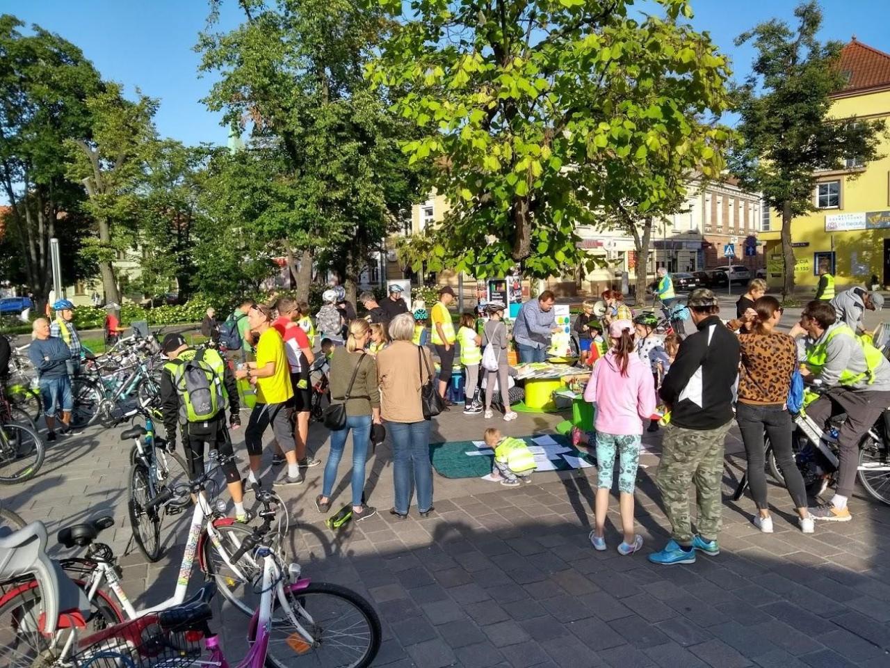
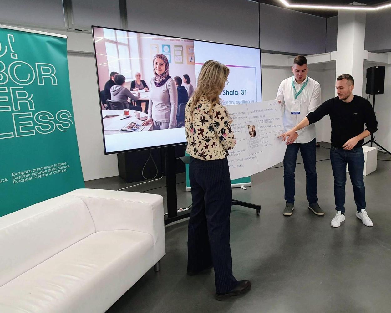
Exploring personas’ emotions during PUMA workshop in Nova Gorica. Photo credit: Maciej Zacher
Walking a Mile in Their Shoes
But how do we plan for people if we don’t truly know them? Traditional engagement methods, the “ballot box” approach, often miss the voices of those who are underrepresented or too busy, too tired, or too cautious to show up: the single parent rushing to daycare, the teenager looking for a safe place to hang out, the older resident anxious about crossing a busy street.
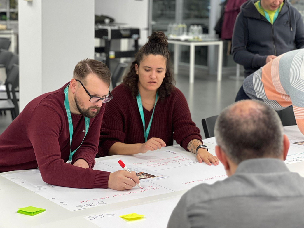
In Nova Gorica, we explored a tool borrowed from the world of User Experience design: Empathy Mapping.
An empathy map is a collaborative visual tool that encourages planners to step out of their own perspective. It divides a user’s experience into four lenses:
Says, Thinks, Does, and Feels. By working through these quadrants, we stop looking at residents as statistical categories and start seeing them as individuals with complex motivations.
Empathy Mapping can be used at different stages of planning:
Diagnosing spaces: revealing how different groups experience a place, not just how experts imagine it.
- Building personas: creating grounded profiles, like a working single mother or a teenager travelling independently, and testing solutions through their daily reality.
- Evaluating ideas: helping planners ask, “Does this work for Maria? For Luca? For our elderly residents?”
- Shifting perspectives: much like the “Six Thinking Hats,” the method enables teams to switch roles and shed administrative biases.
Strengthening participation: combining empathy maps with direct engagement gives a fuller, more inclusive picture of stakeholders.
And crucially: empathy mapping strengthens placemaking. It ensures we design spaces not only to be beautiful or efficient, but right for the people who rely on them.
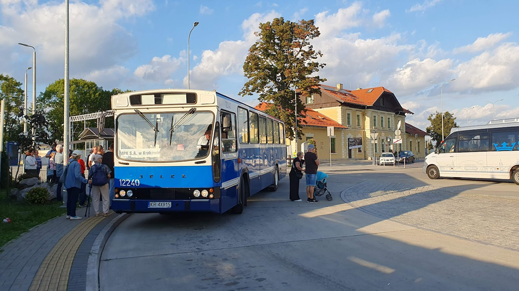
Skawina Main Station, the new pride and heart of the town: an integrated multimodal hub uniting transportation with a library, cafe, and community center. The photo shows a historic bus tour. Photo credit: Maciej Zacher
A Polish Example: The Skawina Hub
The synergy between mobility planning, placemaking, and empathy isn’t theoretical. It yields real results. A striking example is the railway station in Skawina, Poland.
Through an innovative, people-first approach, the historic station was reimagined far beyond its original function. Renovated as a hybrid of a transport hub, library, and cultural centre, it now serves as a vibrant place of learning, meeting, and community activity. It remains a multimodal node - efficient and functional - but has also become a source of local pride and a new heart of the city.
It demonstrates that when we stop designing “terminals” and start creating “places,” residents respond with ownership, trust, and enthusiasm.
Connecting places and personas in Slovenia through the power of Empathy Mapping. Photo credit: Maciej Zacher
Conclusion: Connecting People to Places
As the PUMA network continues its journey, I hope we keep bridging the gap between hard infrastructure and the softer, human side of urban mobility. Tools like Empathy Mapping help ensure that Sustainable Urban Mobility Plans do more than move traffic - they help us understand the people behind the movement.
A mobility plan that is good for waiting, walking, and gathering is a plan that is good for everyone.
And I encourage cities in the PUMA network to experiment with these methods in their own contexts. The more we design with people - and not just for them - the more connected, welcoming, and resilient our cities will become.