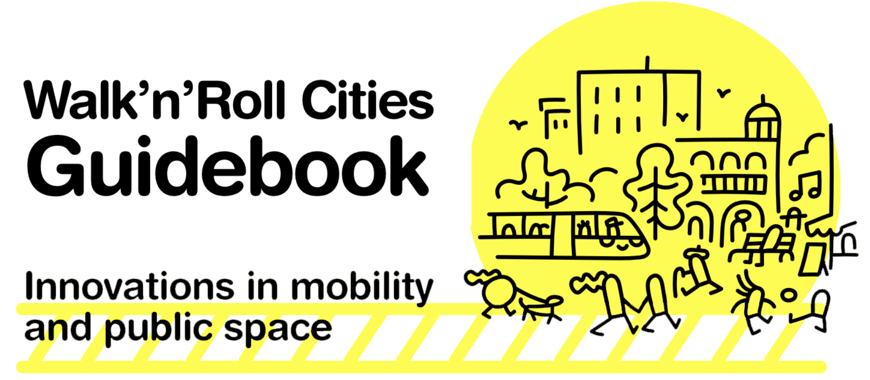
The Walk’n’Roll initiative, 27 different towns, cities and metropolises from the RiConnect, the Thriving Streets and the Space4People networks had a common mission. Together, they reflected about how mobility can play an important role when building better public spaces and increase the quality of life for local communities. Iván Tosics, URBACT Expert who followed their exchange and learning journey, shares with us some of the key take-aways, findings and open questions that were raised during the Walk’n’Roll many and which are compiled in a brand new Guidebook. Take a ride with us and enjoy the read!

The recent pandemic was an important episode in the history of urban development. Much can be learnt from the immediate reactions to the health crisis, especially in dense cities. There were many brilliant examples about innovative tactical interventions in public space, inclusive housing policies, new types of economic support and social protection mechanisms, from which we can take stock.
As the peak of the pandemic has slowly come to an end, the life in cities has quickly returned to its pre-Covid pace. A negative legacy is the incessant growth of suburbanisation, a process that has exploded over the last two years not only in Europe, but also in almost all parts of the world...
A common effect in different cities
In Oslo (NO), internal movements in and around the city, have shown an increased outmigration in the past two years with people aged between 25-30 and 60-70 moving away from the city, towards its outskirts and beyond. The “working from home effect” can partially explain this phenomenon. People with higher wages had a tendency to move away. It’s interesting to note though that most of the outmigrants were people who were not born in Oslo, according to studies.
Likewise, in American cities, a substantial reallocation of housing and office demand has become tangible. People chose to move to the suburbs, away from dense city centres. Some analysts have called this as the “doughnut effect”. Meaning the rise of the suburbs and the slump of the city centre, driven by a fear of crowds and the opportunity of working from home.
In a very recent analysis on the situation of the Paris urban area (FR), the academia has tried to collect all available information about internal residential migration, using unusual data. Information from rural associations, from the post office regarding permanent re-direction of mails to new address, or even schools' registrations were used as unexpected, yet rich sources. As evidence shows, migration flows from the downtown to the urban fringe are visible. According to this analysis, such movement of people cannot be considered as an urban exodus though. So, if not an exodus, what are these new forms of migration then?
The new intra-urban migration tendencies
First of all, research suggests that no direct, causal links exist between the spread of the virus and urban density. According to an OECD, it’s not density alone that makes cities vulnerable to Covid-19, but rather a mix of factors. The structural economic and social conditions play a role in this regard with overcrowdness, inequality, insufficient living conditions and the spatial concentration of the urban poor.
The consequences from this new suburbanisation, on the other hand, are very clear: growing climate and energy problems due to increasing car-use, intensification of social disparities, since those who are leaving the city centre are the ones who can afford to do so. Moreover, there are also more and more problems in places where people tend to move out from. In the Budapest area (HU), for example, there are growing complaints in the agglomerational settlements with physical and human infrastructure problems, caused by the quick, unplanned growth of new residents.
That being said, the post-Covid city presents us with a silver lining, an opportunity to rethink the principles of the urban compact development. For instance the British professor, Greg Clark, offers us a vision with blended cities and a more spread planification process. He argues for a wider distribution of activities between urban areas to offer second and third tear cities more chances. He also makes the case for better disposition of services within functional urban areas, based on the growth of "neighbourliness" and the emerging social capital.
Clark argues that people living in the fringes might still travel to the larger city centers from time to time, and acknowledges that they might not always work from home. At the same time, they will also get a taste for the local life where they live. People will spend more time – and money – in their neighbourhoods and, by consequence, new opportunities might arise for towns, suburban and secondary downtowns. So, these are not simply places where people sleep and work from home, but also places of exchange and for gatherings. Where, eventually, communities might thrive.
This idea raises challenges for future urban development, for instance, issues related to metropolitan planning. Where to build new housing and dwellings? And how to regulate transport fares? These are just a few of the questions that were discussed during the Walk’n’Roll conference in Barcelona (ES), held in July 2022. The findings are summarised below.
How to improve existing dense areas?
The most widely accepted definition for adequate urban density is the one that acknowledges the need for an accessibility shift: changing urban transportation and land-use planning on the basis of people's ability to reach destinations, rather than on their ability to travel fast. This vision relies on the principle of re-humanising cities.
The proximity aspect
In the Walk’n’Roll conference the topic of proximity was at the heart of the discussion. In order for residents to give up the frequent use of car and, in perspective, also the ownership of a car, urban areas have to be changed. They must allow people to reach the most important everyday-destinations in a short time on foot, by bicycle or using public transport rides. There are many ideas raised for this shift, like the concept of the 15-Minute city. Besides the innovative practices of superblocks, Tempo30 and parking management – which are thoroughly described in the Walk’n’Roll Guidebook, Booklet 2 – you can find below two other ideas.
The pedestrian-priority city
Pontevedra (ES) is a medium-sized city with 83 000 inhabitants. In 1999 it was just another car-oriented city, but things started to change with the election of a new mayor – who still holds this position until this day. Mr Miguel Anxo Fernández Lores told citizens back then that the act of buying a car didn’t magically grant people with 10 square meters from the public space for a parking spot.
His ideas consisted of making a distinction of the need for mobility, according to social criteria. He put people in the foreground, with at least half of the surface of all original streets turned into pedestrian areas. Intersections without lights and raised promenades were created, alongside he limited of parking hours in the downtown to a maximum of 15 minutes. In addition, underground parking was built under a concession and free public parking spaces were provided within a 15-20 minute walk of the centre.
The results of these interventions were staggering: a decrease of motorised traffic by 77% in the dense urban area and by 93% in downtown, besides a decline in traffic accidents with no fatalities at all. Pontevedra became a high quality place to live with all public spaces serving the people, instead of the cars.
Car-free places in every neighbourhood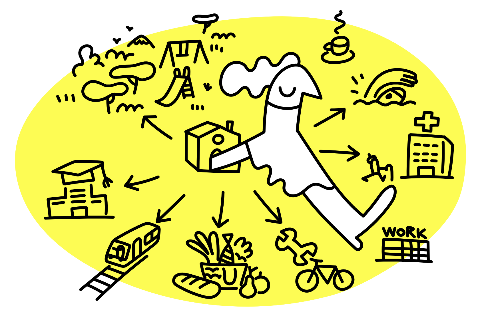
Back in 2014, in collaboration with 24 parish councils, the municipality of Lisbon (PT) started a programme called “Uma Praca em Cada Bairro” (“A space in every neighbourhood”). Currently being implemented, the programme is helping to renovate areas in the city to get people out of cars and to create new public spaces. The squares and streets will become the meeting point of the local community and “microcentres”, concentrating activity and employment.
Henceforth, walking, cycling and public transport will be favoured, as the car traffic will be significantly restricted. The citywide programme in 150 squares and streets, practically in all neighbourhoods of Lisbon, could only be carried out with the support of the population. The programme counted with strong public participation processes.
Potential externalities of public space improvement policies
It goes without saying that the improvement of living conditions, with more public spaces and fewer cars, can lead to raising rents, pushing the most vulnerable residents away from the city. This is why it’s fundamental for the public sector to control the gentrifying effects. The efficiency of the public intervention depends on the willingness and political power of the municipal leadership, as well as on the housing system of the given city. A good example is the city of Vienna (AT), where the majority of the housing stock is under direct or indirect public control, with little or no gentrifying effects as a consequence of mobility and public space improvements.
The situation is slightly more difficult in Barcelona, where the share of rental housing represents 31% of the housing sector. Only a small portion of these houses is actually owned by the public sector, making it almost impossible for the municipality to defend tenants. To tackle this challenge and avoid a “New York Highline effect”, the municipality provides subsidies to the urban poor, regulates private rents, oversees the housing market and even negotiates with landlords.
How to create efficient metropolitan cooperation in blended cities?
In the post pandemic world it’s not enough to make the dense urban cores more attractive, attention has also to be paid to those peripheral locations where many families aim to move to. Planning in larger territories can bring to light different questions, as to where new housing stock should be constructed or how to regulate and tax different forms of transport. The key aspect for public intervention in wider territories is a metropolitan coordination, which can be illustrated by the examples below.
Turning highways into urban boulevards
The classic period of suburbanisation started in the late 1950s in the USA, with the construction of 40 thousand miles of motorways financed by enormous central state grants. Urban planners were unstoppably carving highways into the urban structure, eradicating vulnerable neighbourhoods with fewer abilities to resist and, finally, ensuring the separation of functions following the leading planning concepts of the time. A similar car-oriented “modernisation” wave also reached most of the European cities. During the Walk’n’Roll conference, city practitioners showcased examples of recent efforts to reverse this phenomenon.
In the course of the work done by Metrex for the From Roads to Streets learning platform –with support from Eurocities and URBACT – many European cases are analysed, including the transformative strategies adopted in Helsinki (FI), Oslo (NO), Lyon (FR) and Brussels (BE). In these dynamically growing cities the leading model is the urban intensification to concentrate growth and avoid urban sprawl. One way to achieve this principle is to direct new development to areas along the highways – provided that these are transformed into urban boulevards, with more space given for non-motorised vehicles. In Utrecht (NL), for example, two alternative projections were calculated for future scenarios and, according to them, the "A Proximity Model" foresee 20% less car-use.
The opportunities and challenges of these new urban boulevards are gathered in a project to humanise the N-150 road, which is the central element of Barcelona’s Integrated Action Plan for the RiConnect network. This project deals with the motorway-like national road at the fringe of the metropolitan area, which created a division between the settlements and was putting the speed of mobility as the top priority. In order to restore old connections between the peripheral municipalities, the concept of metropolitan roads was born: without building new roads the extinct links between areas should be revived. This shall calm down traffic on the national road and even enable people to cycle from one town to another, which was not previously possible with the highways.

Improving the rail network to ensure metropolitan cooperation
The Krakow (PL) Integrated Action Plan for the RiConnect network shows another way how metropolitan cooperation can be created. The Skawina Mobility Hub aims to create a connection point in one of Krakow’s satellite cities, on the line of the fast speed agglomerational railway that is under construction.
Besides exploring the future functions of the evolving mobility hub, the intermodal links, park and ride (P+R) facilities and how to connect the station with city centre of Skawina, many efforts are being made to change the mobility mindset of people. This includes co-creation workshops, which resulted in the establishment of the integrated ticket system.
Krakow is a good example for bringing public transport to the overall reflection on the metropolitan area. Such strategies, however, have to face the financial challenge of running public transport. During Covid times the ridership of public transport decreased almost everywhere and the rebouncing is still slow.
Bringing planning and governance together at metropolitan level
The Metropolitan Area of Barcelona (AMB) is a great example of how planning and governance can come together, not only at city, but also at metropolitan level. The AMB, the Lead Partner of the RiConnect network, is an agency with competencies in terms of mobility and public space in the metropolitan area – which counts with the double of inhabitants in comparison to the city itself. AMB is managing a very innovative mobility plan covering different aspects, such as generating safe and comfortable spaces for pedestrians, and sustainable methods of mobility, while reducing the use of private motorised transport.
Unfortunately, not all cities have powerful metropolitan governance systems and/or strong agencies for planning and mobility. In the lack of these, urban planning cooperation between the municipalities of the urban area can help a lot. Sometimes these are initiated in bottom-up process, in combination with the national level, in order to use efficiently the EU Cohesion Policy resources. The Kraków Metropolitan Area (KMA), for instance, is responsible for coordination of transportation investments, which are implemented in the Integrated Territorial Investment (ITI) framework for the city and and its 14 surrounding municipalities.
How to move towards an accessibility shift?
 The new Walk’n’Roll Guidebook is split in three booklets – WHY, WHAT and HOW – and brings to light solutions that any city, regardless of its size, can use as a reference to drive change towards more blended and less compact cities. In order to tackle the most recent challenge of post-Covid suburbanisation, however, the practical interventions that are presented have to be combined with territorial visions. Regulation, planning and the support of governance institutions are equally important. Although this might sound challenging, there are different resources that can be particularly useful. Take for instance the EU Cohesion Policy, where investments in urban transport have more than doubled – from 8 billion EUR in 2007 - 2013 to 17 billion EUR in the 2014 - 2020, with even more opportunities in the next programming period.
The first URBACT IV (2021 - 2027) call for Action Planning Networks is also a great occasion for cities to find partners to exchange, pilot ideas and develop an integrated set of actions at local level. While URBACT stresses the importance of the priorities of green - gender - digital, the RiConnect, the Thriving Streets and the Space4People networks are living proof of the wealth of themes that can be tackled within the spectrum of any urban subject, as today’s mobility challenge. These projects are in the crossroad of building more inclusive cities – for women and all – while also promoting the reduction of carbon emissions.
Cities that wish to apply to the call are welcome to choose whichever network topic they deem relevant to their context. URBACT welcomes – and always will – bottom-up approaches that look at the big picture. Walk’n’Roll is bear fruit of the past round of Action Planning Networks and, hopefully, the next batch of URBACT cities will carry on its legacy and put its knowledge into action.