Similar to Rybnik, the URBACT local action group meetings in Torino had an excellent side effect, described by Erica Albarello and Giulietta Fassino.
Surprising discovery among ULG members
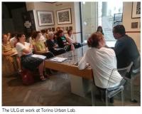
When Torino Urban Lab started to gather its local stakeholders to understand how the Chemnitz´ Good Practice “Housing Agency for Shrinking Cities” could be adapted to the local context, one thing was immediately clear. Many local associations, cooperatives, institutions, research centers were already active in the field of housing and partly performing many of the tasks embodied by the Chemnitz Agency.
What to do?
The issue thus became how to optimize the existing assets and give all stakeholders the opportunity to better interact among themselves and share information, data and projects.
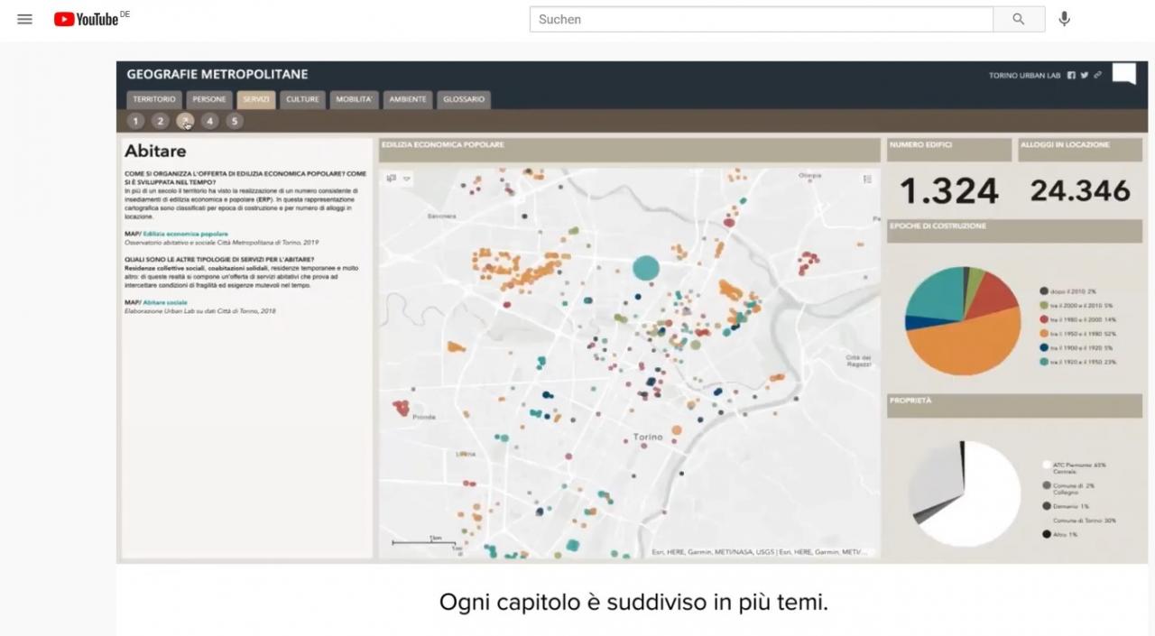
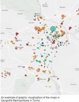
Urban Lab took this hint very seriously and started to design a tool which could be applied ideally to any domain of urban policies: a platform called Geografie Metropolitane/Metropolitan Geographies.
Et voila!
The simple idea behind this tool is to put on a map – or georeferencing, as GIS lovers say – all the socio-economic data available in Torino and in its metropolitan area. The result is a rich set of layers that can be turned off and on by the users in order to create customized representations of the city, spatially showing the interaction among different urban phenomena. Just to give an example, it is possible to cross information such as the network of public transport, the distribution of schools, the average cost of housing, the health services to obtain a clear picture of what’s going on in a specific part of town.
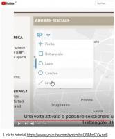
Geografie Metropolitane is an online tool that can be autonomously navigated thanks to a very straightforward tutorial directly from our home computer which, especially in Covid-19 times, is something fundamental. However, Geografie Metropolitane is also a part of the public venue of Torino Urban Lab, where it can be explored in the framework of a broader project called Past Now Soon.
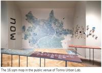
The idea is to give the visitor a picture of the evolution of Torino from the 1950s to the present day with an exhibition of pictures and archive materials depicting the physical and social transformation of Torino. This is the Past section of the exhibition. In the Now area, a huge map of 16 square meters shows the ongoing urban transformations and the dismissed areas waiting to be re-developed, more than 150 lots in total! Here Geografie Metropolitane finds its place on an interactive table, thus tickling the interest of the visitor to find out what is happening in those areas highlighted by the spots on the map.
Drum roll... the result!
After two years of meetings (in person and online), the ALT/BAU URBACT Local Group guided Urban Lab to produce a specific application – or branch – of Geografie Metropolitane specifically targeted to those organizations operating in the housing sector. The ALT/BAU map of services to housing – to be fully delivered in spring 2021, currently tested by Urban Lab and the ULG members – will be a tool with the primary goal to provide updated data and information about typologies, dimension, distribution of services on the urban territory. The assumption is that, in order to design effective policies and practices, the local situation (in social, economic, physical terms) must be freely accessible to all the interested parties.
Torino Urban Lab is eager to (virtually) welcome the ALT/BAU international team in May 2021 to share the outcomes and lessons learned of a project that really gave a boost for a deeper consideration of the housing issue and its urban implications in Torino.